Danbury Drivers Can Help Keep the City Safe With New Online Map
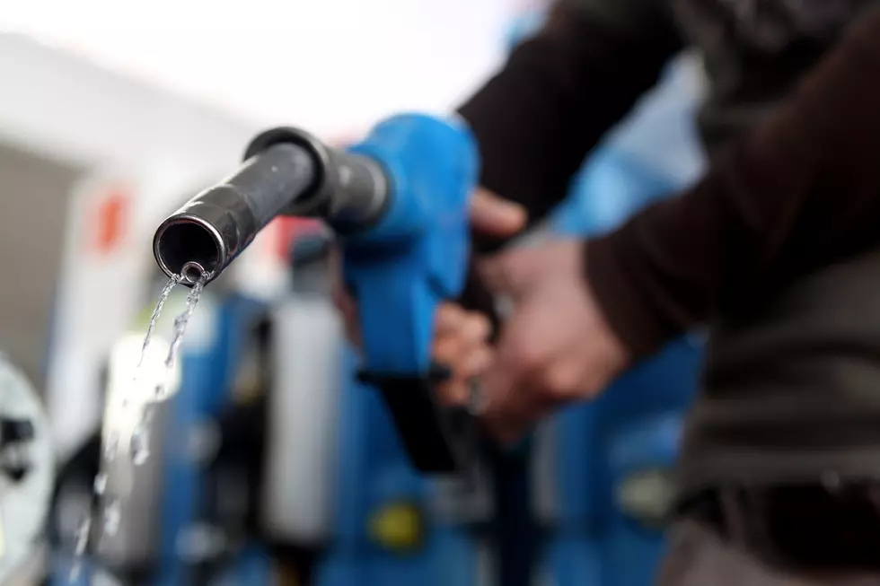
According to a release from the City of Danbury, residents are being asked to help the city identify trouble spots on local roads as part of a new community safety initiative. Officials are calling it the Safe Streets Danbury initiative, but let’s be honest for a second—this time of year it also doubles as what I like to call the Danbury pothole map.

If you’ve driven anywhere in town lately, you already know what I’m talking about. The roads are a little… adventurous right now. Some of these potholes look like they could swallow a compact car. Honestly, we might lose a few good people out there this spring. Thoughts and prayers in advance. They left us too soon. What a shame.
To be fair, this isn’t just a Danbury problem. Pretty much every town and city in the Northeast deals with the same thing once winter finally loosens its grip. We just went through a long, rough season with snow, ice, and plows scraping the pavement night after night. That combination tears up roads everywhere. The freeze-thaw cycle cracks the asphalt, snowplows grind it down, and before you know it the streets look like the surface of the moon.
Read More: Bridgeport Labeled One of the Laziest Cities in the U.S.
Now the city is asking residents to help point out areas that could use attention. Through the Safe Streets Danbury initiative, there’s an interactive online map where people can drop a pin and share concerns, feedback, or ideas about road safety. In other words, if you’ve discovered a pothole that could qualify as a geological landmark, now’s your chance to report it.
City officials say public input will help guide future safety improvements and identify locations where repairs or changes might be needed.
Residents can submit their thoughts through the interactive map online at bit.ly/danbury-map. The city is also planning a Virtual Public Workshop on March 25, 2026 at 5:30 p.m., where officials will talk more about the program and gather additional feedback from the community.
At the end of the day, the goal is to make Danbury’s roads safer for drivers, cyclists, and pedestrians. And if this unofficial pothole map helps the city find the craters that have been hiding out all winter, that’s probably a good thing for everyone—especially your car’s suspension.
Inside the Holding Cells and Grand Rooms of Danbury's Fairfield County Courthouse
Gallery Credit: Lou Milano
A Curious Excursion in an Underground Brookfield Tunnel
Gallery Credit: Lou Milano
From Buttons to Bunkers: The Cold War Charm of The I95 Tower in Brookfield
Gallery Credit: Lou Milano
More From WRKI and WINE