Update: Another Blast of Winter for CT + NY, Local Travel Could Be Hazardous
According to the calendar it's still fall, winter doesn't official arrive until this Saturday, but someone forgot to tell Mother Nature. It's been a pretty rough December so far, and it looks like things will be getting worse instead of better.
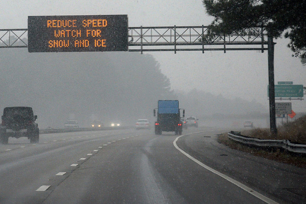
The next system to affect Greater Danbury and most of Dutchess and Putnam County will roll in later today with snow, sleet and freezing rain arriving tonight. The National Weather Service has posted a Winter Weather Advisory for most of Connecticut from 6 PM tonight until 6 AM on Tuesday.
The weather will definitely make your Tuesday morning and evening commutes rather hazardous, especially in portions of inland Connecticut and New York.
The National Weather Service is reporting the best chance of this wintry mix is from midnight tonight right through Tuesday afternoon.
The latest totals, just released by the NWS has the Northern hills in Connecticut getting anywhere from 4-6 inches of snow, parts of Dutchess County getting anywhere from 3-4 inches of snow, and inland areas like Danbury, Bethel, Brewster, and Carmel seeing less, only between 2-3 inches. But it's the sleet and freezing rain that will cause most of the problems.

The main issue with this system is that temperatures will be staying just at or a little below freezing, which will lead to some sleet and freezing rain, and that's the stuff that makes travel very difficult.
Most of the sleet and freezing rain will occur before 10 AM on Tuesday. Then, we can expect rain and some sleet during the day, with a change over back to just sleet and freezing rain after 5 PM.
On Wednesday night, get ready for another arctic blast as a polar front will drop temperatures to around 10 degrees in most of Connecticut and New York, and into the single digits in parts of Litchfield and Dutchess County. The cold weather will also continue into the coming weekend.
No matter how you slice it, the weather will lead to a much slower morning and afternoon commute tomorrow, so take it slow, and of course give yourself plenty of extra time.
Here's the official forecast from the NWS:
Today: Cloudy, with high's in the mid to upper 30's.
Tonight: A chance of snow before 11pm, then snow, freezing rain, and sleet. Low around 30.
Tuesday: Freezing rain and sleet before 10 a.m, then rain and sleet between 10 a.m. and 5 p.m., then rain, freezing rain, and sleet likely after 5 p.m. High near 34. Chance of precipitation is 90 percent. Little or no ice accumulation expected. New sleet accumulation of 1 to 2 inches possible.
Tuesday Night: A chance of freezing rain and sleet before 8pm. Cloudy, then gradually becoming partly cloudy, with a low around 25.
Wednesday: A 20 percent chance of showers in the afternoon with a high near 36.
Thursday and Friday look sunny, but cold with highs reaching only the mid 20's during the day, and lows overnight in the teens.
More From WRKI and WINE


