Phantom I84 Entrances and Exits in the Greater Danbury Area: Part 3
You’ve undoubtedly heard about the benefits that accrue to a neighborhood when a highway goes through and an exit brings new potential business customers your way. Well, what happens when the exit goes away? There’s an example of this, right in our region, and it involves an exit that no longer exists – exit 12, in Newtown.

Leaving a Newtown Enclave High and Dry
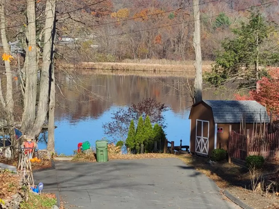
Exit 12 used to exist on a tiny peninsula on the banks of the Housatonic River, which today still shows the remnants of a bygone time and a once more lively area.
There are only a couple of ways to access this Newtown neighborhood. The most direct is the narrow, winding Riverside Road. Exit 12 was a far more convenient way to access the area, although, like several other i-84 interchanges, there was only an on-ramp in one direction and an off-ramp in the other direction.
There’s an interesting website that lends some facts and background to this story. It’s called kurami.com and its principle author is Scott Oglesby. He describes himself as, “a highway historian, a type of ‘road geek’.” He lives in California now, but grew up in Connecticut. He’s made the accumulation of historical tidbits about roads in this state an ongoing pastime.
I credit Scott with providing these facts: first off, did you know that the highway is called The Yankee Expressway between Danbury and the Connecticut River? That’s from a 1961 law passed by the Connecticut Legislature. Second, there are more left-hand exits (17) than on any other interstate highway in the U.S. Finally, i-84 starts in Dunmore, Pennsylvania at the intersection of i-81 and ends at i-90 in Massachusetts – a stretch of 232 miles.
More to the point of this story, the first leg of i-84 was opened in 1961 – the stretch from exit 1 in Danbury to exit 11 in Sandy Hook. Beyond Sandy Hook, the highway narrowed to the existing four-lane Route 6, which had no divider and was therefore far more dangerous. There was only a narrow Rochambeau Bridge over the Housatonic.
Just before you reached the river, exit 12 served the tiny peninsula in Newtown. There was a westbound (towards New York) off-ramp, leading to Center Street and Riverside Road in Sandy Hook (near the famous, 94-year-old Lorenzo’s Pizza). There was also an eastbound (towards Hartford) on-ramp from Underhill Road (near a motel).
The map above also shows the location of the historic pole bridge that, decades ago, used to cross the Housatonic between the Sandy Hook terminus to the bank along River Road in Southbury. The photo below shows Oak Trail in Sandy Hook, where you would go to cross the old pole bridge.
Phantom i-84 Entrances and Exits in the Greater Danbury Area – Part 3
If you know who owns this property or anything else about the backstory behind this fun train set, please leave a comment. I’d be very interested to learn more about it.
6 of the Worst Intersections in Brewster, NY
More From WRKI and WINE


