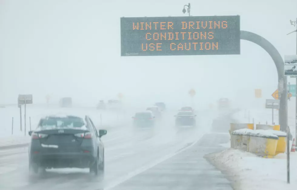
Greater Danbury and New York Are Expecting More Snow This Week
Looks like Mother Nature is making up for the mild winter last year with one snow storm after another for us this time around.
So make sure the snow blower is all ready and keep that shovel handy because tomorrow (Tuesday) and later on this week, it looks like more snow is on the way.
According to the National Weather Service, there's a fast moving system that could give us another two to four inches of snow during the early drive in tomorrow and then another system that could dump some more snow on us later this week.
Right now it looks like Thursday we could see more in the way of accumulating snow, but at this time, forecasters are staying away from terms like coastal storm, or Nor'easter. Then after that, there's another chance for more snow and possibly more of a significant accumulation on Sunday.
In all cases for snow this week, forecasters are waiting to get a better idea of the track of the systems before going out on a limb and predicting snow accumulation totals. During this past storm on Super Bowl Sunday, many forecasts did not predict that we would get as much snow as we actually did.
Here's a look at the official forecast for the week from the National Weather Service:
- Tuesday: There's an 80% chance of snow, possibly starting during the overnight and continuing until around 3 PM. Right now, snow totals could vary from 1-3 inches for coastal areas with the possibility of 2-4 inches inland.
- Wednesday: We get a short break. Looks Sunny and chilly with highs in the low 30's.
- Thursday and Friday: Right now, there's a 30% chance of snow both days, accumulations will depend on the system track.
- Saturday: The calm before the next storm, sunny with highs around 30.
- For Sunday, it's too early to make any calls on snow and snow totals, more information will be available later in the week.

10 Things You'll Find In Most Connecticut Homes
More From WRKI and WINE