Heavy Rain Predicted For Local Area Late Today Into Tonight
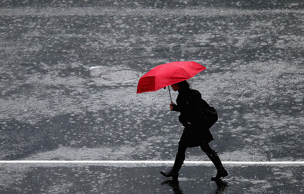
I hope you enjoyed the great weather we had all weekend, because it's all about to change beginning Monday afternoon.
The National Weather Service predicts rain to move into the Connecticut/bordering New York area later today and tonight, clouds continuing to roll in during the day and showers could start sometime before the afternoon commute. Some of the rain could be heavy at times too.
Here's the official forecast from the NWS:
Tuesday
Showers and thunderstorms likely, mainly before noon. Cloudy through mid morning, then gradual clearing, with a high near 76.
Mostly clear, with a low around 56. Northwest wind 6 to 13 mph.Wednesday
Mostly sunny, with a high near 73. Light and variable wind becoming south around 6 mph in the afternoon.Wednesday Night
A 40 percent chance of showers after 2am. Mostly cloudy, with a low around 58.Thursday
Showers likely, with thunderstorms also possible after noon. Cloudy, with a high near 68. Chance of precipitation is 70%.
Thursday Night
A 50 percent chance of showers before midnight. Mostly cloudy, with a low around 59.
Friday
Sunny, with a high near 73.
Friday Night
Mostly clear, with a low around 60.
More From WRKI and WINE