Be Careful During Your Evening Commute Connecticut, Westchester and Putnam
- Late Afternoon: Snow. High near 21. Wind chill values between 10 and 15. Northeast wind around 11 mph. Chance of precipitation is 80%. Total daytime snow accumulation of 1 to 3 inches possible.
- Tonight: Snow likely, mainly before 2am. Cloudy, with a low around 17. Wind chill values between 10 and 15. Northeast wind 9 to 11 mph. Chance of precipitation is 70%. New snow accumulation of less than one inch possible.
- ---

- Credit: National Weather Service
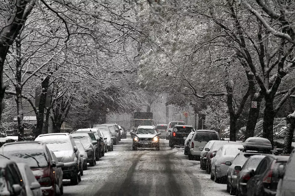
- The snow is coming down pretty heavy as of 8:30 a.m. Most schools have canceled classes for the day. The roads are completely slick with snow on top of a layer of sleet.
- "We continue to be in a stormy weather pattern, and since this is winter in New England, we must all be prepared to deal with these types of storms. DOT trucks will be treating the roads through the entire storm so we can keep the state open for business," said Gov. Dannel Malloy. "If you must drive, take it slow and give yourself extra time to get to and from your destinations."
- Here is the updated forecast from the National Weather Service:
- Today - Snow. High near 24. Wind chill values between 5 and 10. Northeast wind around 10 mph, with gusts as high as 22 mph. Chance of precipitation is 100%. Total daytime snow accumulation of 2 to 4 inches possible.
- Tonight- Snow, mainly before 2am. Low around 18. Wind chill values between 10 and 15. Northeast wind 7 to 10 mph, with gusts as high as 20 mph. Chance of precipitation is 80%. New snow accumulation of 1 to 2 inches possible.
- Tuesday - Partly sunny, with a high near 32. Wind chill values between 10 and 20. North wind 7 to 9 mph.

---
Yet another slippery and slow Monday morning commute is in store for us, according to the National Weather Service's forecast.
The NWS says we could be getting between four and six inches of snow, and a tenth of an inch of ice between Sunday night and Tuesday.
There will be a chance of snow and freezing rain Sunday night that will turn into just snow after midnight. We could see about 1 to 2 inches during this time.
The snow is expected to continue through Monday day and reach about 2 to 4 inches. An additional 1 to 2 inches could accumulate by Monday at midnight.
Temperatures should stay in the low 20s during the snowstorm.
The NWS has issued a Hazardous Weather Outlook and a Winter Weather Advisory from midnight on Monday to 6 am on Tuesday.
More From WRKI and WINE